ISLAMABAD, August 8, 2025 – The Capital Development Authority (CDA) is enhancing its anti-encroachment operations in Islamabad with advanced technology, including Google Earth satellite imagery and drone-based surveillance, to monitor and protect public land.
In a policy announcement on Thursday, CDA Chairman and Chief Commissioner Muhammad Ali Randhawa pledged strict, impartial enforcement of laws and permanent safeguarding of reclaimed areas. Officials revealed that the ongoing campaign has already reclaimed more than 60 kanals of illegally occupied land in the Saidpur area.
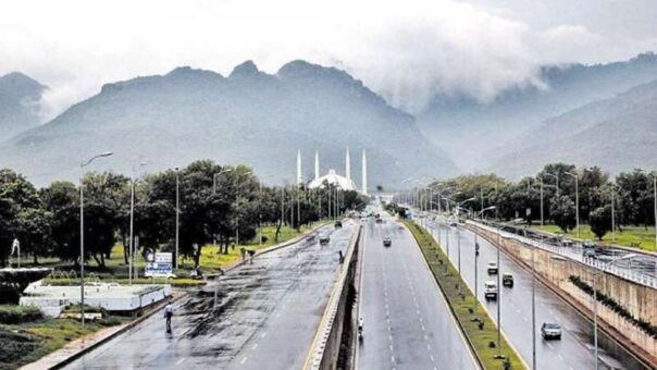
Additional enforcement drives have been carried out along GT Road, Srinagar Highway, Tarnol, and the Expressway, targeting both structural encroachments and unlawful constructions. Randhawa stressed that consistent monitoring is crucial to prevent reoccupation. “We are taking indiscriminate action against all illegal encroachments, but lasting results require continuous vigilance. Google Earth and drone surveillance will allow us to keep a constant eye on vulnerable sites,” he said.
The CDA’s new monitoring system is designed to provide near real-time oversight, enabling authorities to detect violations swiftly. Legal action against offenders will be expedited, and preventive measures, such as stronger boundary demarcations, will be introduced.
As part of its long-term strategy, the CDA also aims to transform cleared plots into community assets. Plans include tree plantation drives, green belts, and recreational spaces to improve Islamabad’s environment while discouraging illegal occupation.
Randhawa reiterated that the mission extends beyond enforcement: “Our vision is to make Islamabad a model capital—green, lawful, and people-friendly.” Senior officials from the CDA, ICT administration, and enforcement departments attended the meeting, signaling a coordinated approach to safeguarding Islamabad’s public land for future generations.